Those insects are not all that bites here!
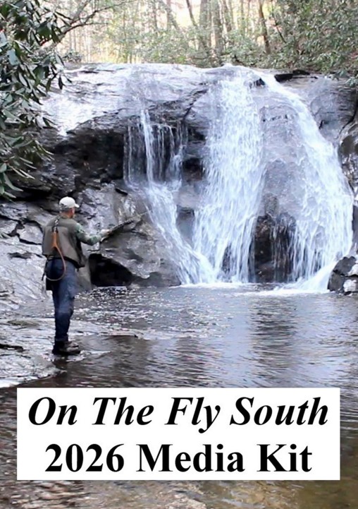
On The Fly Saltwater
August 2024
Article and photos by Jimmy Jacobs
Mosquito Lagoon lies on the east coast of the Florida Peninsula. It is made up of the North Indian River portion of the larger Indian River Lagoon system that spans 156 miles from Ponce de Leon Inlet at New Smyrna Beach down to Jupiter Inlet.
Mosquito Lagoon is connected to the southern portion of the Indian River via the Haulover Canal. First constructed in 1852 and improved over the years, the canal still carries boat traffic as part of the Intracoastal Way (ICW). This northern lagoon is bounded by the earlier mentioned Ponce de Leon Inlet to the northern edge of the Kennedy Space Center. In the north the Mosquito Lagoon Aquatic Preserve covers 4074 acres, while the middle and southern sections are part of the Canaveral National Seashore.

The lagoon is noted for its trophy redfish action, with resident fish often topping 20 pounds. These reds offer great targets for fly casters year-round. Seatrout fishing can also be outstanding in the lagoon, usually in the warmer months.
The fishing in the open waters of the middle to southern parts of Mosquito Lagoon usually centers along the edges of the ICW or around the spoil islands created by dredging of that channel. Most of the action here is best accessed via flats boats.
Up north in the aquatic preserve, conditions are a bit different. This is a region holding lots of small islands separated by creeks and small lakes. It is ideal for using kayaks to access. It also is ideal for redfish, but these fish likely will be a bit smaller than the open-water ones.

On one particular venture into this region, I had stopped my kayak to drift while changing flies. When I looked up from the chore, I was surrounded by perhaps 30 redfish tails breaking the surface around me, with the nearest ones only a dozen feet away! Fighting “buck fever,” I managed to put the Clouser Minnow a couple of feet in front of one of those close reds and soon had a 24-inch fish to the gunnel.
Access to this part of the lagoon via kayak is possible from both the east and west shores. On the mainland west, there is a launch site in Menard-May Park at the north end of the aquatic preserve. Farther south, River Breeze Park offers access to the central portion of the preserve. Both provide relatively short paddles into the maze of islands.
On the east shore at the north end of the preserve, the Hiles Boat Ramp offers similar access, as does the Apollo Beach Ramp a bit farther south. This latter one, however, is in the Canaveral National Seashore and requires an entrance fee to reach.
A lesser-known option for some angling action for shore-bound fishermen is found in the southern end of the lagoon in the shadows of the Kennedy Space Center. Here a section of mosquito canal parallels the shore of the lagoon. These small waterways were created to keep water moving, which in turn limits the ability of the insects to reproduce.

Dike roads provide access to the mosquito canals.
The canals are bordered by dike roads. Walking along these dirt roads can put you in a position to target snook and juvenile tarpon in the relatively close confines of these canals.

Baby tarpon are one of the targets in the canals.
A good jump off point for this is at the BioLab Boat Ramp. The road running south from here to the BioLab Road Kayak Launch offers a number of openings on the canals. Bringing along a bicycle to ride the road while watching for fish feeding in the canal is another option. Anywhere there is a culvert carrying water into the canal during rising tides is a good place to check out.
A selection of colors and sizes of Clouser Minnows, Lefty’s Deceivers or Puglisi-style flies usually is all that is needed in the canals. And, of course, during periods of moving water during tidal changes sees the most feeding action.
All of the access points on the Mosquito Lagoon that have been mentioned can be located online using Google Maps.