Bald Point State Park on Florida’s Forgotten Coast
June 2025
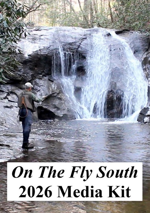
Article and photos by Jimmy Jacobs
It is often called Old Florida or, in the outdoor tourism circles, Natural Florida. Either way, it’s what many visitors to the Sunshine State come south seeking. And along both coasts of the peninsula, such situations are becoming more difficult to find. Unspoiled areas that are not shaded by high-rise condos are diminishing in number.
Against that backdrop, Florida’s state parks play a key role in preserving oases of the state’s past appearance. Particularly for fly anglers wanting to avoid pavement and theme parks for some DIY action, Bald Point State Park on the Panhandle coast is a jewel. This is part of Florida’s Forgotten Coast. If you want abundant shopping, dining and spacious gated communities, this is not the place for you. There are, however, a variety of rental beach houses available.

Located just southwest of the village of Panacea, Bald Point is the northeastern tip of Alligator Point peninsula. The state park takes in most of the land protruding out at the junction of Ochlocknee Bay and Apalachee Bay. All told Bald Point State Park covers 4,065 acres containing coastal marshes, pine flatwoods and scrub oak thickets. It is the marshes and the shoreline on Ochlocknee Bay that are of special interest to fly casters.
Don’t expect to encounter crowds at this state park. That’s because it offers few amenities that attract visitors, other than anglers and hikers. The beach facing on Apalachee Bay does draw some sun worshipers, but even those are relatively few. There also are a couple of fishing piers and two kayak landings.
For anglers, the good news is that Bald Point offers a variety of fishing options. As noted, this tract and its waters are ideal for fly casting from shore, wading or via a kayak. Access is available at several locations, providing plenty of water that would take days to fully explore.
As for the fish, all the waters in or bordering the park have options for seatrout, sheepshead and flounder, but are most noted for redfish action.

The Beach Access area of the state park is one of the spots noted for holding redfish year-round. This is along the northern end of the beach on Apalachee Bay, just before it rounds a spit of land at the entrance to Ochlocknee Bay. Here you might want to use an intermediate sinking line to keep your fly from being dragged around by wave action.

The Beach Access entrance to the park.
Once around that point and on the northern shore of the park on Ochlocknee Bay, there’s a cove holding oyster shell beds. Those shells flood on the high tide and can be reached with casts from the sand. There also is a fishing pier at the western end of this cove, where it’s worth the effort to make some casts to the pilings of that structure.

Moving west beyond the pier, a small tidal creek enters the bay. The point on its eastern side is fronted by a hard sand bottom stretching out for about a hundred yards. This offers wade-fishing options to the creek when the tide is moving water in and out of its mouth. Additionally, a fishermen’s path leads up the creek shore through the scrub vegetation to the first smaller tidal cut entering this creek. This entire area around the creek mouth can hold some redfish.

The tidal creek mouth just west of the fishing piers.
The final option along this shore is to launch a kayak at the fishing pier, then paddle west along the marsh. There are several small creeks entering the bay, but of particular interest is the mouth Chaires Creek at just under a mile from the pier. This is the major flow coming out of the interior of the park. Around its mouth both reds and trout tend to show up all through the year.
There are two other kayak angling options in the park as well. Tucker Lake is a 175-acre body of water at the head of Chaires Creek. It’s brackish water environment is known for giving up reds, trout, flounder and sheepshead. A sand kayak landing is located on its southern shore.

The kayak landing on Tucker Lake.
Also, several hundred yards down Chaires Creek, a bridge on Range Road crosses the flow. There’s a parking lot at this point, with a kayak launch dock that is even handicapped accessible. It is one of those where you place the vessel on rollers, get in and glide down into the water.

The Chaires Creek kayak dock.
From here you can paddle upstream into Tucker Lake, or you have a mile and half of tidal marsh creeks and back waters downstream to Ochlocknee Bay. About half way down this stretch there is a paddle-in primitive camping area.
To reach the kayak landing on Tucker Lake, from the village of Panacea, take U.S. 98 south over the bridge spanning Ochlocknee Bay. At 1.3 miles past the bridge, turn left on Alligator Drive. Drive 0.7 miles and turn left on Range Road. Presently there is no road sign at the intersection; it is the first paved road you encounter on the left.

Flounder may take your fly on the sandy flats areas.
After entering the park, it is 1.1 miles to the unpaved service road on the right that leads to the kayak landing. Again, there is no signage identifying it at the intersection. If you go another couple of hundred yards past the turn onto the kayak landing road, you reach the bridge over Chaires Creek and the other kayak launch site.
For the beach access entrance, drive down Alligator Drive for 3.8 miles from U.S. 98 and turn left onto Bald Point Road. The state park entrance is at the end of this road.
The park is open from 8:00 a.m. to sundown daily, year-round. A $4.00 parking fee is charged on an honor system, and you will need to have cash in one dollar bills.