Featured photo by Jimmy Jacobs.
On The Fly Freshwater
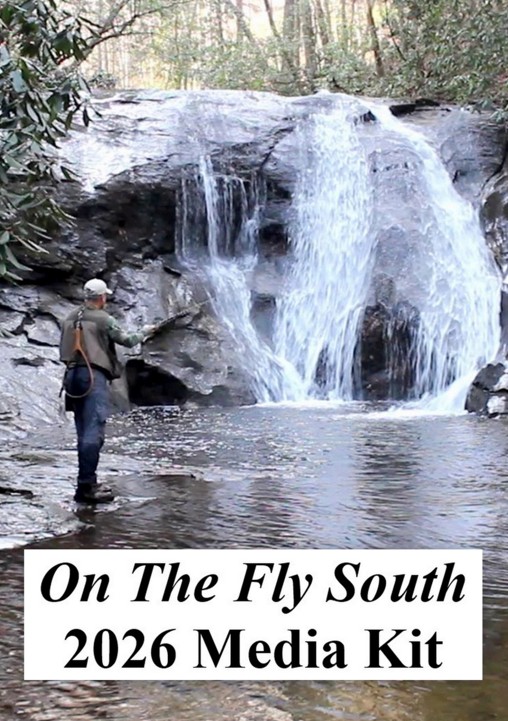
By Jimmy Jacobs
June, 2021
There’s a clichee, old cartoon showing someone dipping a toe into the water to see if it’s too cold to dive in. Turning that idea on its head, there’s no need to dip anything in the South Toe River to check the temperature. This flow is formed from a number of tributaries tumbling down from the southeast slope of 6,684-foot Mount Mitchell, the highest peak east of the Rocky Mountains, and has some of the coldest water found in North Carolina.

Photo by Polly Dean.
When it comes to trout fishing the South Toe also offers a microcosm of everything available to trout anglers in the Old North State. Here you find fast tumbling sections with shoals and plunge pools, along with other sections that flow slow and deep. Within those waters both wild and stocked brook, brown and rainbow trout swim. Those range from mere fingerlings to browns measuring more than 20 inches.

Photo by Jimmy Jacobs
Located entirely in Yancey County, with a large portion also in the Pisgah National Forest, the South Toe is just southeast of the town of Burnsville. From the main river’s modest beginnings at the junction of its North and South Forks, the stream grows to a full fledge Southern Appalachian river size by the time it reaches the end of official trout water. Along this course it is bounded to the northwest by Mount Mitchell that towers 3,600 feet about the river valley. The opposite side of the valley is dominated by Big Laurel Mountain and Lost Cove Ridge. Eventually the flow joins the North Toe to form the Toe River, prior to emptying into the Nolichucky River.
The crew from On The Fly South paid a visit to the South Toe in mid-May to take advantage of the dry fly action it hosts. We found the river running full, clear and cold, as expected. At that time of year local anglers point to mayfly imitations, as well as Brown Caddis and Hendrickson patterns as go-to flies. As the weather warms more, terrestrial patterns become important as well. For the colder months, nymphs and natural hue midge patterns are the tickets for success.

The barricade at the Upper Creek Bridge on South Toe River Road. Photo by Jimmy Jacobs
On the South Toe, you actually have four distinct sections, offering differing fishing conditions and regulations. On the main river from the junction of its two forks, along with all its tributaries down to the bridge at the Black Mountain Campground, the streams are designated as Wild Trout waters. Only single hook, artificial lures are allowed, a 7-inch minimum size limit is imposed and the daily limit is four trout. For most fly casters, this stretch entails 1.8 miles from the barricade on South Toe River Road (Forest Service Road 472) at the mouth of Upper Creek, down to the bridge at the campground. Above the barricade the river is quite small and its banks heavily vegetated, but if you want to tangle with a native Southern Appalachian brook trout, then you need to keep going upstream.

Photo by Jimmy Jacobs
Once below the campground, the next 1.7 miles of water down to the edge of the North Carolina game lands are open as Wild Trout water, but also are limited to catch-and-release fishing only. The third section from the edge of the game lands down to the mouth of Clear Creek on highway NC 80 South are once again open under standard Wild Trout regulations.

Fly casting the South Toe near the Black Mountain Campground. Photo by Jimmy Jacobs.
Finally, from Clear Creek down to the lower end of the Yancey County Toe River Campground on Patience Park Road (State Road 1152), Hatchery Supported rules apply. From March until July this part of the river receives 5,400 brook trout, 5,400 rainbows and 2,700 brown trout. Additionally, some wild fish do tend to show up in this part of the river as well.

Casting into a deep pool in the hatchery-supported part of the South Toe. Photo by Polly Dean.
The Carolina Hemlocks Recreation Area is situated on this part of the South Toe, offering easy access to the water. Be aware that the rest of this lower section flows through a number of patches of private property, interspersed with public accesses.
We concentrated our efforts on the catch-and-release section to begin with. These wild fish average only about 6-inches in length, but trout up to 12 inches also are caught through here. This part of the South Toe is easily waded and qualifies as only a small to medium flow. One of first fish hooked was a finely colored, small brown trout, reinforcing the idea that those fish spawn in the river.

The wild brown from the catch-and-release section of the South Toe. Photo by Polly Dean.
Later on, we moved downstream into the hatchery-supported section, first trying near the Carolina Hemlocks area and then along Patience Park Road. In both places we found a much larger stream with deep slow-moving pools. Switching off to a black Wooly Bugger produce hook ups with stocked trout in the 10- to 12-inch range.
Bottom line is if you are looking for a new trout adventure in the northwest of the Old North State, the South Toe River has what you are looking for – regardless of the type water and fish you want to target.