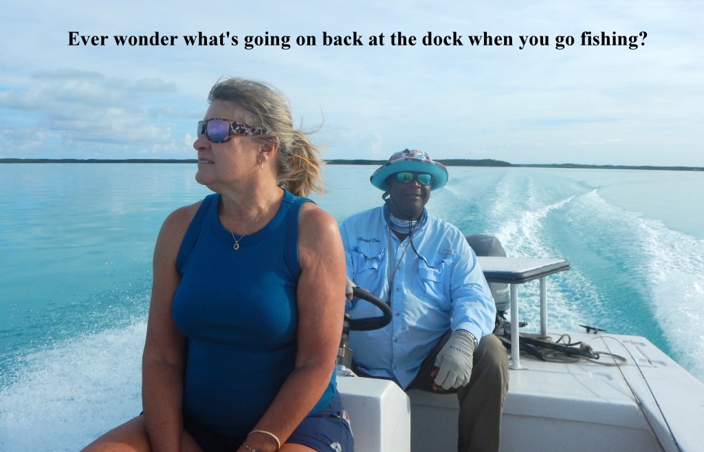
Great Exuma Island
On The Fly Saltwater
November 2024
By Jimmy Jacobs
On our remaining days of angling on Great Exuma, we now got down to the real business that had brought us to the island. As part of the effort to reclaim their legacy of being a destination for bonefishing, Peace & Plenty Resort is offering their guests connections to the local guides. Additionally, they also want to provide opportunities for those fly casters looking for do-it-yourself options.
To aid in that effort, Polly Dean and I came down to explore the length of the island in search of the best wade-fishing opportunities that are accessible from the shore. That is not as easy as one might imagine it to be.
Although most of the isles in the Bahamas have a lot of shallow flats around them, it’s not always the case that you can simply walk out on them anywhere you please. Some of those flats turn out to be more mud than sand, making for difficult to impossible wading. Reaching some requires crossing private property, where you may or may not be welcome. Still others are so off the beaten path that the terrain and vegetation make them very inhospitable to reach.

Photo by Jimmy Jacobs.
Another factor is psychology. While virtually anywhere you fish in the Bahama Out Islands is just as safe as being on the water in the U.S., to visiting anglers it still is a foreign country. You may be safe, but you also want to “feel” safe. Thus, leaving your rental car to bushwhack to a shallow shoreline distant from road access doesn’t appeal to many anglers.
Our objective was to scout out several spots that could be recommended to traveling fly casters headed to Peace & Plenty. To aid in the effort, the management hooked us up with local cab driver John Nixon. It was a good match. Though he was not a fly fisher, he was an angler more at home tossing a hand line. But he also knew where the fishing could be good, and being on the road all over the island, he had seen many of the spots were fly casters waded. It also did not hurt that John had a most agreeable personality, seemed to know everyone on the island, as well as being familiar with the best eateries and watering holes.
Of course, some of the exploration was rather adventurous, finding us on very rough back roads. In one case we ventured down a road in the village of Rolle Town that was so worn down to the bedrock that it matched the roughness of any old logging road in the Southern Appalachians. It was not a track I’d drive down in a rental car. To our surprise, we ended up in a parking lot beside a shoreline flat, but also next to the Haulover Bay Bar & Grill Restaurant that is popular with locals and tourists. Still, I wondered how all those folks got down to it?
Rolle Town also figured in another episode during our exploration. Polly and I both thought we were headed to a flat on the north end of the island, in Rolleville. I finally had to ask John why we seemed to be headed south. That was when he explained that the two similarly named settlements were on opposite ends of the island.
It is worth reminding that if you rent a car on Exuma or any of the other Bahamian islands, driving is on the left side of the road. You also will find that the roads to the north of the capital in George Town are in far better shape than those headed south toward Rolle Town.
The bottom line was we came up with three locations that fit our criteria of easy access, good wading conditions, and close to civilization. Additionally, we also were introduced to yet a fourth option on the Peace & Plenty property. These are not the only wading spots on Great Exuma, but they are the most convenient to locate and access.
Let’s have a look at each of these.
Exuma Point Beach
This site is located in Rolleville on the extreme north end of Great Exuma. The Exuma Point Beach name appears on Google Maps, but most folks on the island refer to it as the Rolleville Flat or Beach.
At this location, there is parking just off the Queen’s Highway that is the main thoroughfare that runs the length of Great Exuma. In fact, the highway ends just past the parking are at a loop turn-around.

Photo by Polly Dean.
This is a massive mostly hard sand flat that extends for hundreds of yards out from shore to both the west and north. Wading south, however, takes you into a grass flat where the bottom is much softer. There is room enough to spend an entire day at this one site.

Photo by Jimmy Jacobs.
At low tide the flat goes almost completely dry with just a few small, shallow channels running through it. On the other hand, at full high tide all of it is covered with at least a couple of feet of water. For the most part the white sand bottom makes spotting moving fish fairly easy.
Salvatore (Salvation) Beach
This beach is a community gathering spot in Rolle Town (appears as Rolletown on Google and some other maps) near the southern end of Great Exuma. Here you find a boat ramp, small swimming beach and picnicking area on a short peninsula jutting out into the bay between Great Exuma and Man-O-War Cay.
This one also is quite easy to locate. When driving south from George Town on Queen’s Highway, upon reaching Rolle Town, watch for a pedestal on the left marked with “Welcome to Rolle Town.”

Photo by Polly Dean.
Turn left at this intersection and follow the road up into town on top of the hill. Turning right at this point takes you down the rough, overgrown road to the Haulover Bay Bar & Grill. From there you can also get in the water.
A better option is to go straight through the intersection and then down the other side of the hill. The road dead-ends at that beach, boat ramp and gathering area at Salvatore Beach.

Photo by Jimmy Jacobs.
The best wading is off the swimming beach and to the left. At the beach the sand is white and hard packed, making for easy wading.
Flamingo Bay
Although this bay is not marked on maps or via road signs, it still is quite easy to locate. Traveling south from the George Town city limit sign on Queen’s Highway, the road runs right along the water. It has a concrete seawall topped by a guard rail along the shore, which is the only place along the highway you will see that.

Photo by Polly Dean.
This is a fairly small flat, but very convenient, since it is just a five-minute, mile-and-quarter drive from Peace & Plenty.
At the northern end of the seawall there are some parking spots and you will see a number of boats anchored in the distance. Access to the water is at that same end of the wall, with a small white sand beach to the left.
Peace & Plenty Beach Club
If you are staying at the Peace and Plenty Resort, you can catch their shuttle out to Stocking Island and their beach club. The club is situated in a small lagoon off of Elizabeth Harbor. This small body of water has a boat channel running down the middle, but most of the fringe along the shore can be waded.

Photo by Jimmy Jacobs.
As you arrive at the dock, look to the left and you’ll see a white sand beach. The bottom in front of the beach is very firm, mostly white and often holds some bonefish. Just beyond it there are some mangroves that the bones get into on higher water levels. Just be aware that the bottom right around those plants is a bit softer.
The fish here are most accessible during the couple of hours on either side of the flood tide. It also is possible to wade from this beach back around to the one directly in front of the beach club cottages.